Books by Ordnance Survey
Ordnance Survey
Ordnance Survey is a renowned British mapping agency, known for its meticulous cartography work. Their most famous work includes the creation of highly detailed maps of the United Kingdom, which have become invaluable resources for hikers, explorers, and researchers. Their precision and accuracy have set the standard for modern map-making.
Filter
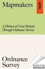
Mapmakers
A History of Great Britain Through Ordnance Survey
Ordnance Survey, Will Millard
HardCover
Published:
2026

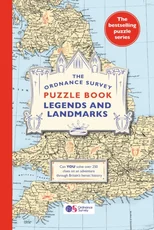
The Ordnance Survey Puzzle Book Legends and Landmarks
Pit your wits against Britain's greatest map makers from your own home!
Ordnance Survey
Paperback
Published:
2023
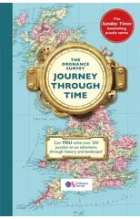
The Ordnance Survey Journey Through Time
From the Sunday Times bestselling puzzle series!
Ordnance Survey
Paperback
Published:
2021
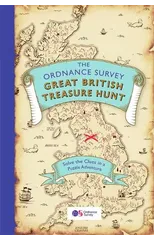
The Ordnance Survey Great British Treasure Hunt
Can you solve over 350 clues on a puzzle adventure from your own home?
Ordnance Survey
Paperback
Published:
2020
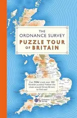
The Ordnance Survey Puzzle Tour of Britain
A Puzzle Journey Around Britain From Your Own Home!
Ordnance Survey
Paperback
Published:
2019
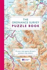
The Ordnance Survey Puzzle Book
Pit your wits against Britain's greatest map makers from your own home!
Ordnance Survey
Paperback
Published:
2018


Ancient Britain
Ordnance Survey

Roman Britain
Ordnance Survey


British Isles Physical
Ordnance Survey


L/R MAP 182 FLAT WESTON-SUPER-MARE BRID
Ordnance Survey