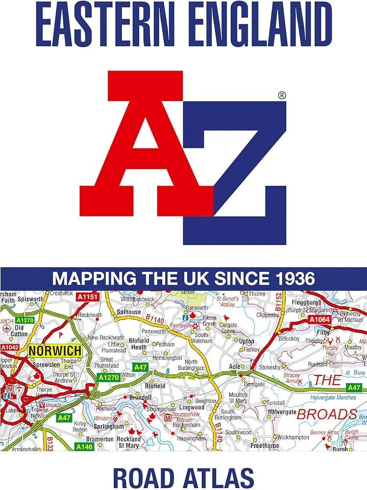
Eastern England A-Z Road Atlas
(Author) A-Z MapsPublished at a clear 2.5 miles to 1 inch the following features are shown on the road mapping: Motorways with full junction detail, primary routes and destinations, A & B roads, under construction and proposed roads, service areas, tolls, mileages, county and unitary authority boundaries National Park boundaries Selected places of interest and tourist information centres Separate city, town, airport, and port plans The comprehensive index section lists cities, towns, villages, hamlets and locations covered by this atlas.
A-Z Maps
A-Z Maps is a renowned cartography company known for their detailed and accurate maps. Their most famous work includes the A-Z London Street Atlas, a staple for navigating the city. Their clear and user-friendly style has revolutionized the way people explore and understand urban landscapes.
Other related


South West Coast Path 4 – South Devon
With Ordnance Survey Mapping