First published in 1936, this iconic atlas is a trusted means of finding your way around the capital city. The main mapping extends beyond Central London from Heathrow Airport to Chingford at a scale of 2.88 inches to 1 mile, featuring postcode districts, one-way streets, the Congestion Charging Zone and Low Emission Zone. The large-scale street map of Central London - at a scale of 5.75 inches to 1 mile - covers Regent's Park and Shoreditch, Chelsea and Vauxhall, Hyde Park and Bermondsey. A comprehensive index lists streets, selected flats, walkways and places of interest, place, area and junction names. Additional healthcare (hospitals, walk-in centres and hospices) and transport connections (National Rail, London Tramlink, Docklands Light Railway, London Underground and Overground stations, and River Bus pier) are indexed as well.
A-Z Maps
A-Z Maps is a renowned cartography company known for their detailed and accurate maps. Their most famous work includes the A-Z London Street Atlas, a staple for navigating the city. Their clear and user-friendly style has revolutionized the way people explore and understand urban landscapes.
Other related

Great Britain A-Z Handy Road Atlas 2026 (A5 Spiral)
Easy to Read Map of Great Britain in A5 Size with Spiral Binding
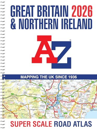
Great Britain A-Z Super Scale Road Atlas 2026 (A3 Spiral)
Easy to Read Map of Great Britain in A3 Size with Spiral Binding