Pembrokeshire Coast Path
With Ordnance Survey Mapping
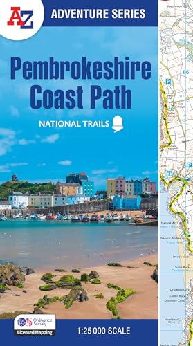
(Autor) A-Z MapsThe A-Z Adventure Series uses Ordnance Survey mapping and is the perfect companion for walkers, off-road cyclists, and anyone wishing to explore the great outdoors. The Pembrokeshire Coast Path is a 186 mile (299 km) National Trail in south-west Wales. From Amroth in the south to St Dogmaels in the north and running mainly through the Pembrokeshire National Park, the route passes through some of the most scenic parts of Wales. This National Trail Map features detailed mapping at a scale of 1:25 000, providing complete coverage of the Pembrokeshire Coast Path. There is also a route planner included to show distances between places and the amenities available making it easy to plan your adventure. Additional features include: Information Centres Hotels/B&Bs Youth Hostels Campsites (seasonal opening) Public Houses Shops Restaurants Cafes (seasonal opening) Petrol Stations Other books available in the A-Z Adventure series include: Peak District (Dark Peak), Peddars Way and Norfolk Coast Path, South Downs Way, Cotswold Way, South West Coast Path and The North Coast 500.
A-Z Maps
A-Z Maps is a renowned cartography company known for their detailed and accurate maps. Their most famous work includes the A-Z London Street Atlas, a staple for navigating the city. Their clear and user-friendly style has revolutionized the way people explore and understand urban landscapes.
Other related

Great Britain A-Z Handy Road Atlas 2026 (A5 Spiral)
Easy to Read Map of Great Britain in A5 Size with Spiral Binding

Great Britain A-Z Super Scale Road Atlas 2026 (A3 Spiral)
Easy to Read Map of Great Britain in A3 Size with Spiral Binding