2026 Philip's Big Road Atlas of Britain & Ireland
(A3 Paperback)
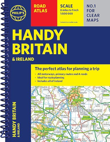
(Autor) Philip's Maps'Good balance between detail and clarity with excellent town maps' What Car? PHILIP'S is No. 1 in the UK for clear maps. The latest 2026 Philip's Big Road Atlas of Britain and Ireland, in a supersize large format, has fully updated maps from the Philip's digital database alongside all the detail and information needed for successful travel. * Low Emission and Ultra Low Emission Zones clearly marked on town plans * Top driving tips for safety and skill including parallel parking * The best scenic routes, natural features and landscape highlighted for enhanced travelling * Practical 'more to view per page' A3 size * Main scale of maps: 3 miles to 1 inch = 1:200,000 for ease of use * Route-planning section for the easiest navigation * 64 fully indexed town and city plans * City approach maps with named roads for the best access * Clear road map showing all of Ireland 2026 Philip's Big Road Atlas of Britain and Ireland contains 96 pages of road maps covering Britain at 3 miles to 1 inch (Scottish Highlands and Western Isles at 4 miles to 1 inch, Orkney and Shetland at 5.25 miles to 1 inch). The maps clearly mark service areas, roundabouts and multi-level junctions for easy navigation, and in rural areas distinguish between roads over and under 4 metres wide, to help wide vehicles. There are extra-detailed town plans for easy navigation with all counties marked for clarity. The atlas also includes a 2-page road map of Ireland, route-planning maps, a distance table, and 12 large-scale city approach maps with named arterial roads and the expanded ULEZ clearly outlined for London. Wherever you are driving in Britain or Ireland, this is the ultimate road companion.
Philip's Maps
Philip's Maps is a renowned cartographer known for creating detailed and accurate maps of various regions around the world. Their most notable works include maps of cities, countries, and continents, which are highly regarded for their precision and clarity. Philip's Maps has made significant contributions to the field of geography and navigation through their meticulous attention to detail and dedication to producing high-quality maps. Their work has had a lasting impact on the world of cartography and has become an invaluable resource for travelers, researchers, and historians. One of their most famous works is the World Atlas, which remains a staple in libraries and educational institutions worldwide.
Other related

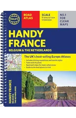
Philip's Handy Road Atlas France, Belgium and The Netherlands
Spiral A5
2026 Philip's Big Easy to Read Britain Road Atlas
(A3 Spiral)
2026 Philip's Easy to Read Road Atlas of Britain
(A4 Spiral Bound)
2026 Philip's Easy to Read Road Atlas of Britain
(A4 Paperback)
The Invisible Doctrine
The Secret History of Neoliberalism (& How It Came to Control Your Life)

Midnight and Blue
The Instant Number One Sunday Times Bestseller
Moral Ambition
Stop Wasting Your Talent and Start Making a Difference